
General


Advertisements
Advertisements
Advertisements

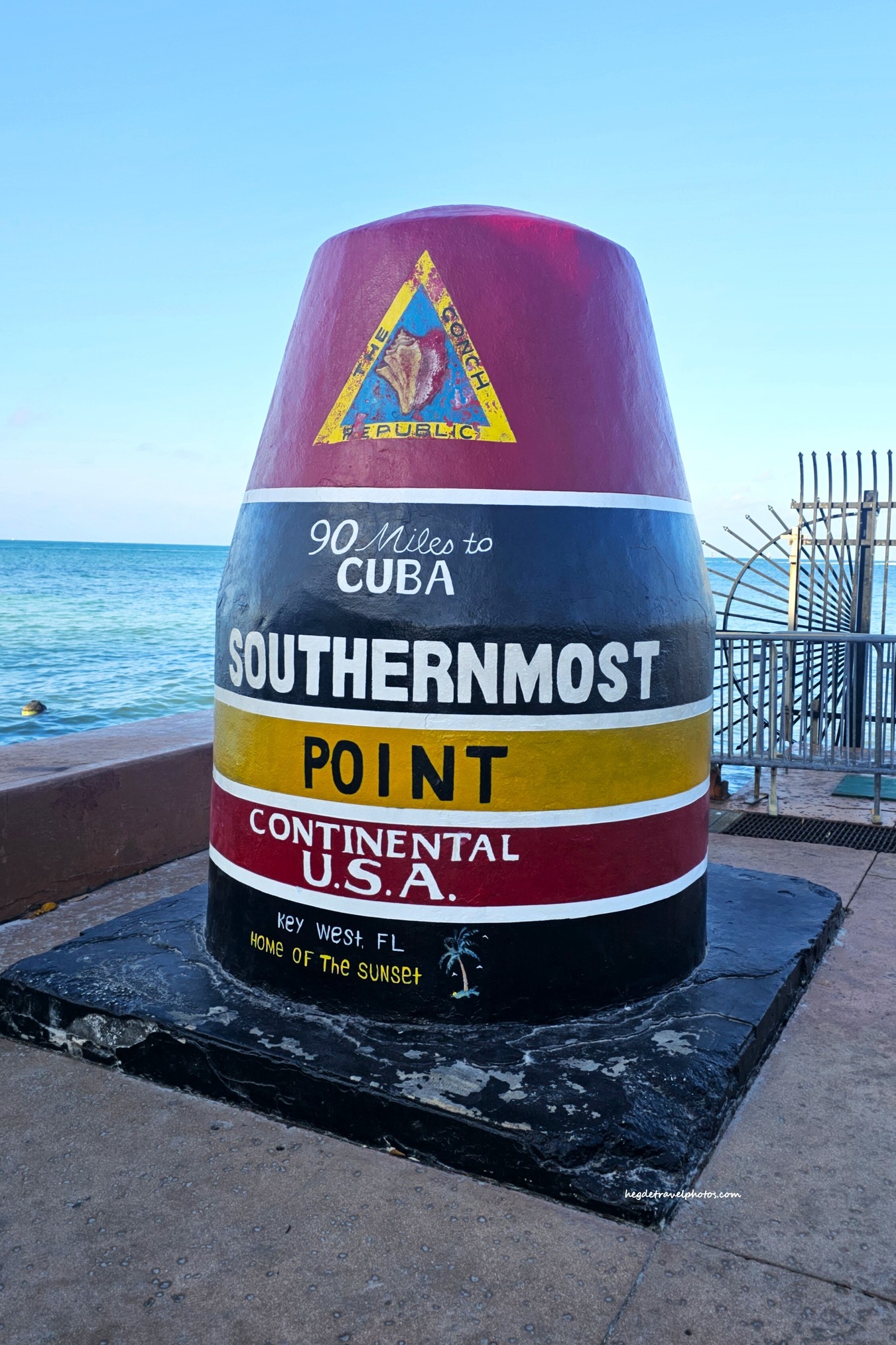
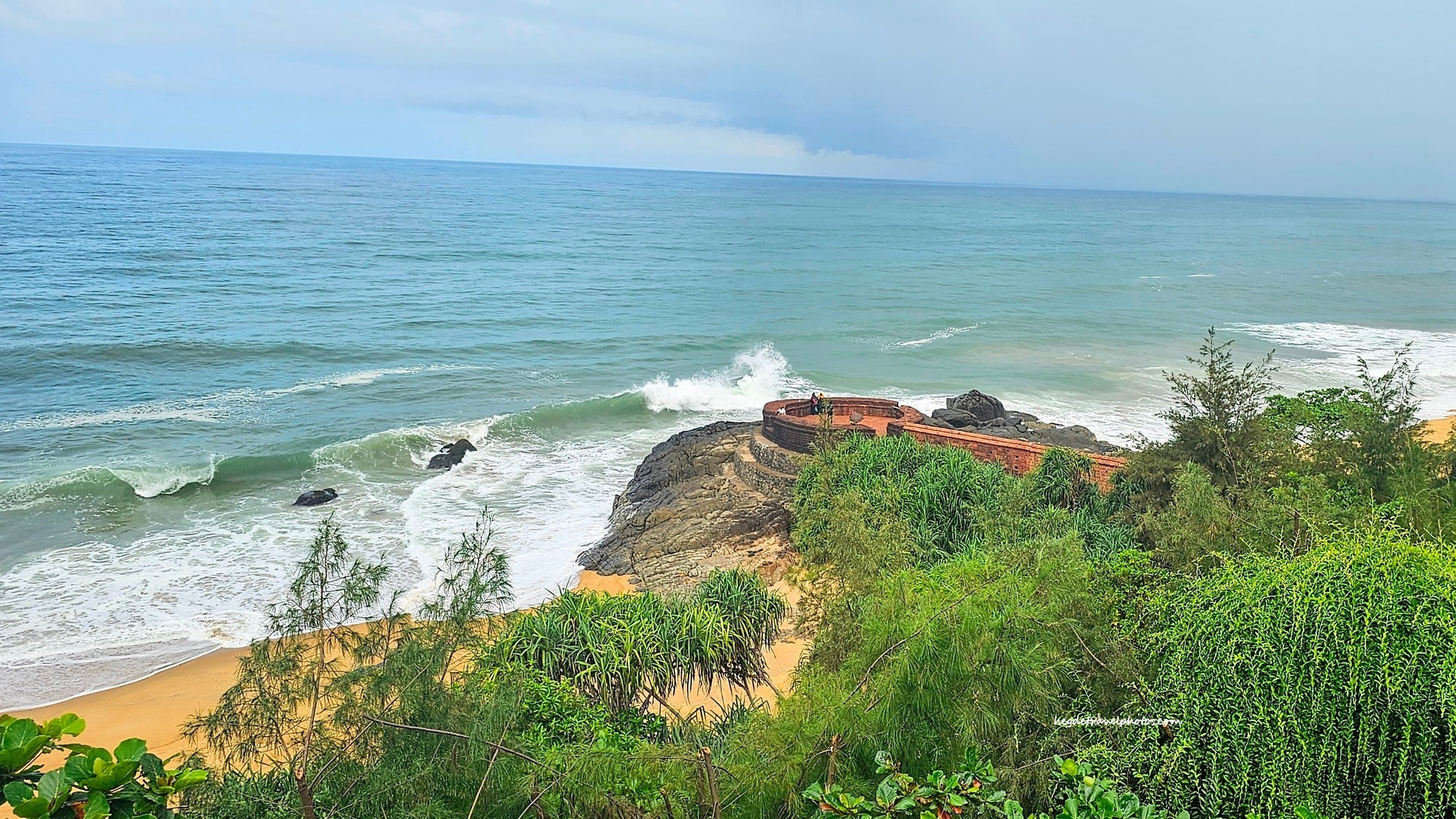
Collection Of Pictures From Various Travel Destinations Around The World